










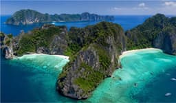

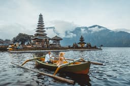

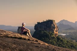
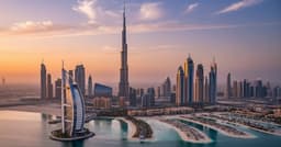
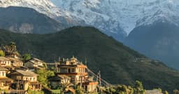
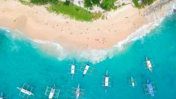





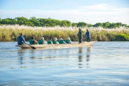
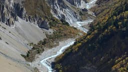
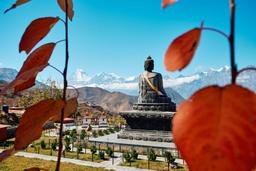
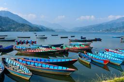
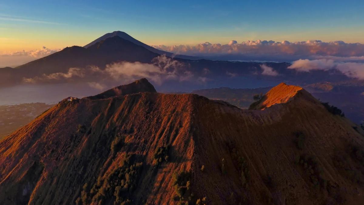
Short answer: the Mount Batur sunrise trek is a pre dawn guided hike up an active volcano in Kintamani, north central Bali, to watch the sun rise over Lake Batur and Mount Agung from a summit about 1,717 m high. Most groups start walking around 4:00 am, climb roughly 700 m in 1.5 to 2 hours on loose volcanic gravel, and are back at the trailhead by mid morning. It is moderate rather than extreme, a local guide is expected at the trailhead, and the volcano was at the lowest official alert level when we checked on 9 November 2026.
This guide is for walkers who want the honest version: how hard the climb really is, which trail you will probably use, what the guide rule is and where it comes from, how to read the official volcano status before you go, what to wear in the cold before dawn, and what else is worth seeing in Kintamani once you are down. We have added a comparison with short Nepal hikes such as Poon Hill, Nagarkot and Sarangkot, because a lot of our readers are Nepali hikers who want to know whether Batur is "a Nagarkot morning" or "a Poon Hill morning". If you are still shaping the wider trip, our complete Bali travel guide covers money, transport and when to go. We do not print prices here, because trek and transfer prices change often and differ by operator.
What is the Mount Batur sunrise trek?
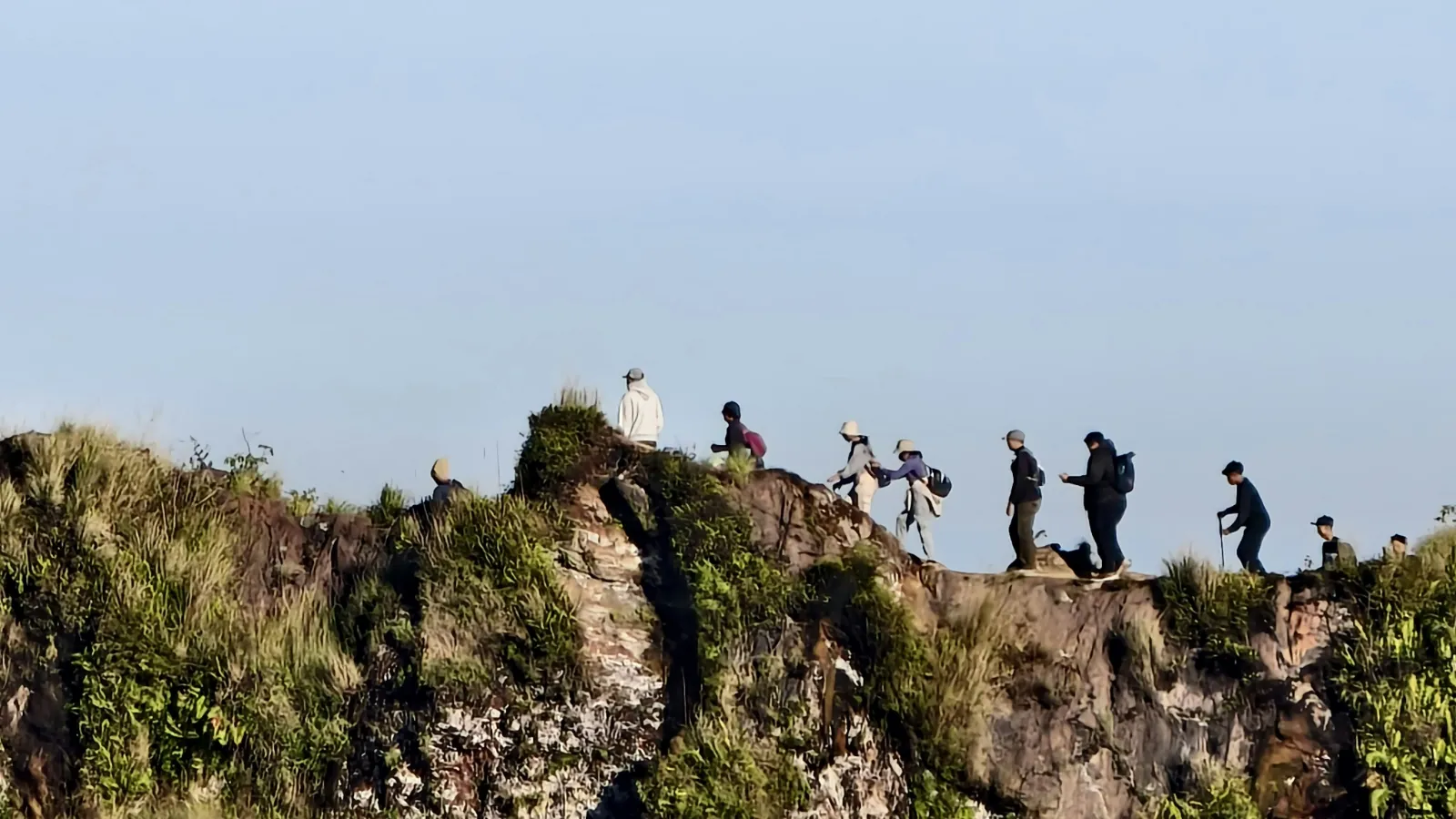
The Mount Batur sunrise trek is a guided night hike from the shore of Lake Batur to the summit crater rim of Gunung Batur, timed so you arrive before dawn and watch the sunrise over the caldera. It is a popular early morning outing, and it fits into a single morning from Ubud or the southern beach areas.
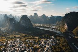
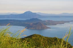
Batur sits inside two huge nested calderas in the Kintamani district of Bangli Regency. The outer caldera measures about 10 by 13 km and formed in a collapse roughly 29,300 years ago, according to the Mount Batur article on Wikipedia. UNESCO describes Batur as a 700 m tall active stratovolcano standing within the younger caldera, with a crescent shaped lake about 7 km long and 1.5 km wide wrapped around its base. The whole area is the Batur UNESCO Global Geopark, which covers 36,640 hectares and 15 villages.
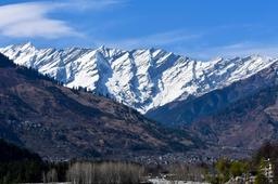
That geography is why the sunrise works so well. From the rim you look east across the lake to Mount Abang and the cone of Mount Agung. Below you, dark lava fields from 20th century eruptions still cover parts of the lower slopes. Steam rises from small vents near the summit, and guides often cook eggs or bananas in that volcanic steam for breakfast.
Mount Batur trek key facts
| Item | Detail | Source and check |
|---|---|---|
| Summit height | About 1,717 m above sea level | UNESCO Global Geopark page and Wikipedia, checked 9 Nov 2026 |
| Height above the lake | About 686 m above the surface of Lake Batur | Smithsonian Global Volcanism Program, checked 9 Nov 2026 |
| Usual start point | Toya Bungkah area on the lakeshore (lake surface about 1,031 m) | Operator and hiker route descriptions, 2025 to 2026; lake height from Wikipedia |
| Elevation gain | About 700 m on the main route, less on the northeastern route | UNESCO (cone height), operator and hiker reports |
| Time up | Usually 1.5 to 2 hours at an average pace | Operator and hiker reports, 2025 to 2026 |
| Time down | Usually 1 to 1.5 hours | Operator and hiker reports, 2025 to 2026 |
| Round trip distance | Roughly 6.5 to 7 km, depending on route and rim walk | Hiker reports, 2025 to 2026 |
| Difficulty | Moderate: steep in places, loose gravel near the top, done in the dark | Our assessment from the sources above |
| Guide | Local guide expected at the trailhead | See the guide section below |
| Volcano alert level | Level I (Normal) | MAGMA Indonesia, checked 9 Nov 2026 |
| Time zone | WITA, UTC+8 (2 hours 15 minutes ahead of Nepal) | Standard time zones |
You may see slightly different heights for Batur on hiking pages. We use 1,717 m because the UNESCO Global Geopark page and Wikipedia agree on it, and the Smithsonian figure of 686 m above the lake fits the same number.
How hard is the Mount Batur sunrise trek?
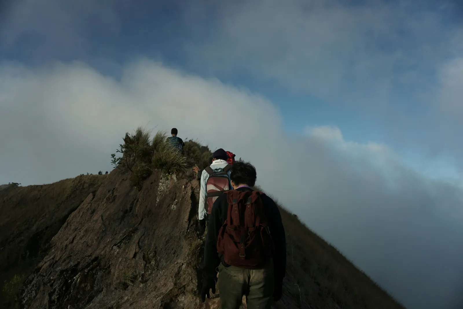
The Mount Batur sunrise trek is moderate: anyone who walks regularly and can climb stairs for an hour without stopping will usually manage it, but it is steeper and looser underfoot than most people expect. The hard part is not the height. It is gaining about 700 m in under two hours, in the dark, on volcanic gravel that slides back a little with every step.
Hiker reports from 2025 and 2026 describe the route in three broad stages. The early part is a gradual climb on dirt tracks and through farmland and scrub. The middle section gets steeper, with rocks and a narrower path. The final stretch is on loose black scree and lava rock, where you may use your hands for balance in a few spots. At the top the crater rim is a narrow ridge with drops on both sides, so you follow your guide and do not wander off for photos.
The descent is where most people feel it. Loose gravel is harder going down than up, knees take the strain, and by then the sun is out and it is warm. A pair of trekking poles makes a real difference on the way down.
Is Batur harder than Nepal day hikes?
For a Nepali hiker, Batur is easier than a day on the Poon Hill trek and harder than a morning at Nagarkot, mainly because of its steep, loose final section. The altitude is low by Nepal standards. Batur's summit is only about 300 m higher than Kathmandu itself, so altitude sickness is not a realistic concern for someone who lives in the valley.
| Hike | Top height | Typical sunrise approach | How it compares with Batur |
|---|---|---|---|
| Mount Batur, Bali | About 1,717 m | About 700 m of gain from the lakeshore in 1.5 to 2 hours, in the dark | Short but steep, loose scree at the top, cold and windy summit |
| Poon Hill, Myagdi | 3,210 m | About 336 m of gain from Ghorepani (about 2,874 m) before dawn, after 2 to 3 days of trekking from the Pokhara side | The sunrise climb itself is shorter, but the trek to get there is far longer and higher |
| Nagarkot, Kathmandu Valley | About 2,175 m | Usually driven, about 32 km from Kathmandu, then a short walk to a viewpoint | Much easier: Batur is a real climb, Nagarkot is mostly a drive |
| Sarangkot, Pokhara | About 1,600 m | Drive up, or a hike of about 90 minutes from Miruwa | Similar height and similar time on foot, but Batur's top section is looser and steeper |
Heights from the Wikipedia pages for Poon Hill, Ghorepani, Nagarkot and Sarangkot, checked 9 November 2026. The gain from Ghorepani is our calculation from those two heights.
The honest summary for Nepali walkers: if you have done the Sarangkot walk or the climb to Poon Hill without trouble, Batur will feel familiar, just steeper at the end and on worse footing. If your only hill experience is driving up to Nagarkot or Chandragiri, treat Batur as a proper workout and do a few hill walks before the trip.
Fitness checklist before you book
- You can walk uphill for 60 to 90 minutes with short breaks.
- You are comfortable on uneven ground in the dark with a headlamp.
- Your knees and ankles are healthy enough for a steep, slippery descent.
- You can manage a 1:30 to 2:30 am wake up and a long day after it.
- You are fine standing on a narrow, windy ridge with drops on both sides.
Who should think twice
People with heart conditions, serious breathing problems, recent surgery, unhealed knee or ankle injuries, or a late stage pregnancy should speak to a doctor before booking, and some operators will not take them. Children can do the trek only if they are used to long walks (see the FAQ below). If you want the view without the climb, the caldera rim road at Penelokan and the jeep sunrise tours described below are gentler options.
Which trail routes and sunrise viewpoints are there?
Most Mount Batur sunrise treks use the main route from the Toya Bungkah side of the lake, and some use a quieter northeastern route through farmland. Which one you walk is decided by your operator and guide, so it is worth asking before you book if crowds or steepness matter to you.
| Route or option | Where it starts | What it is like | Best for |
|---|---|---|---|
| Main route, steeper fork | Toya Bungkah side of the cone, by the lake | A little before 1 mile (about 1.5 km) in, the trail splits. The right fork is steeper and more direct to the northern summit | Fit walkers who want a shorter, harder climb |
| Main route, gradual fork | Same start | The left fork is longer and more gradual, shared in places with motorbike taxis | First time hikers and slower groups |
| Northeastern route | Farm tracks on the village side northeast of the cone | Reported at about 6.4 km round trip and about 475 m of gain, past onion fields, usually quieter | Hikers who want fewer crowds and a little less climbing |
| Crater rim walk | From the summit | An extra loop along the rim after sunrise, with views into the craters and steam vents | Confident walkers with good shoes |
| Jeep sunrise tours | Kintamani villages | 4WD vehicles drive to viewpoints on the lower slopes and lava fields, no summit climb | Families, older travellers, anyone who wants the view without the hike |
Route details from hiker and operator reports published in 2025 and 2026; trail names and branch points are not officially signposted in English, so your guide's choice on the day is what counts.
Where to watch the sunrise
- The summit rim. The classic spot, with the widest view over the lake to Mount Abang and Mount Agung. It is also the coldest and the most crowded on weekend mornings in the dry season.
- Lower stopping points on the trail. If your group is slow or the weather turns, guides sometimes stop at a lower shoulder for sunrise. The view is narrower but still faces the lake.
- The rim road at Penelokan. For non hikers, the road along the outer caldera rim in Kintamani looks straight across at Batur and the lake. It is not a sunrise summit, but on a clear morning it is a strong view with no climbing at all.
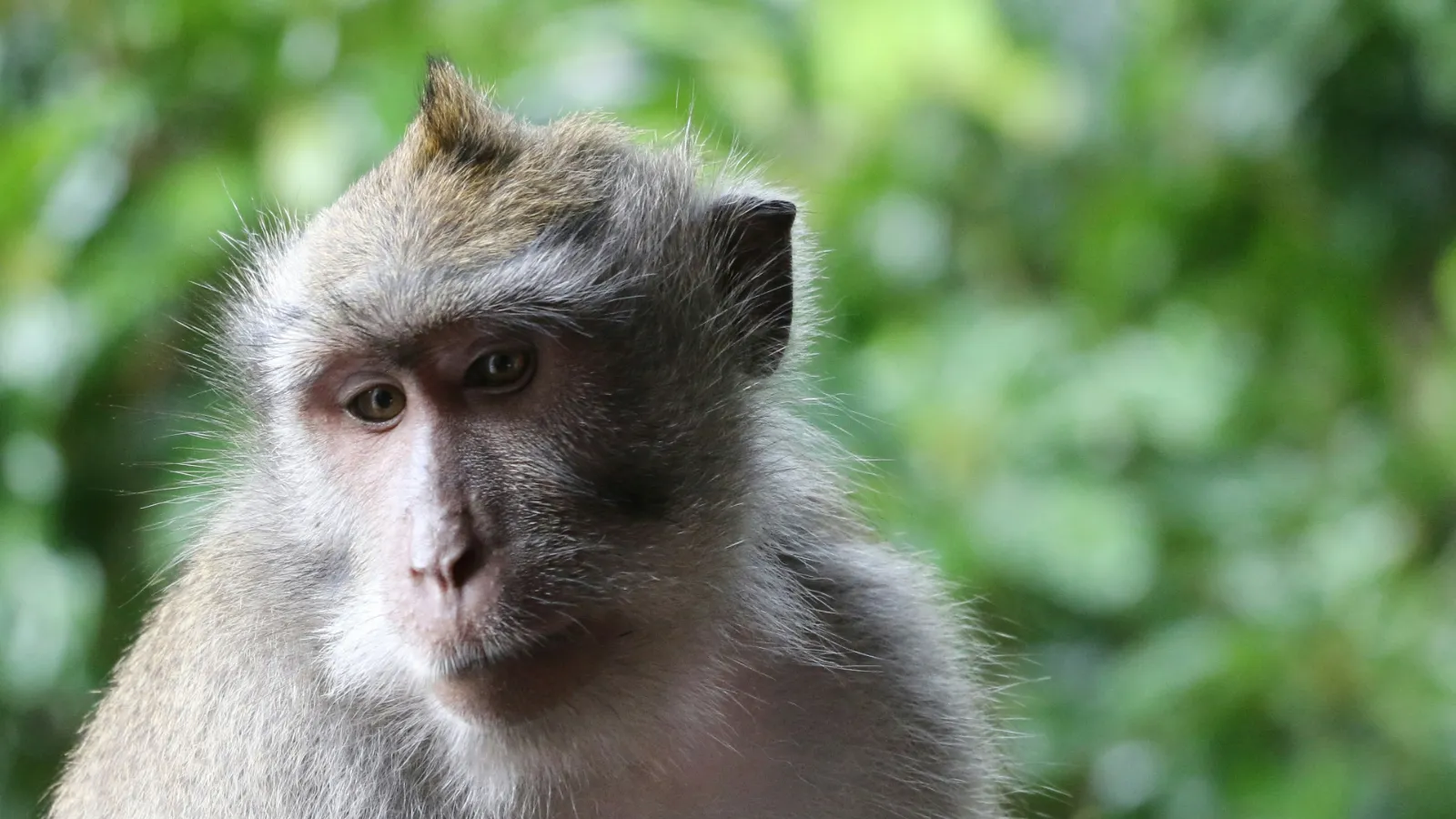
The summit is a crater rim rather than one pointed peak, and a 2025 hiker report notes you may meet a few macaques there. Keep snacks zipped inside your bag and do not feed them.
Do you need a guide for Mount Batur?
Yes. In practice every hiker on Mount Batur is expected to go with a local guide, and independent walkers who turn up alone are asked to hire one at the trailhead. This is a local system run by guides from the villages around the mountain, backed by Bali's provincial rules for foreign visitors.
The rule has two layers, and it helps to know both:
| Layer | What it says | Source and date |
|---|---|---|
| Bali provincial circular for foreign tourists | Bali Governor's Circular No. 7 of 2025 says foreign tourists must be accompanied by a licensed tour guide who understands Bali's nature, customs, traditions and local wisdom when visiting tourist attractions | Bali Provincial Government media centre, announced 24 March 2025, bmc.baliprov.go.id |
| Local guide association at the trailhead | The Mount Batur trekking guides' association (Perhimpunan Pemandu Pendakian Gunung Batur, often shortened to PPPGB or P3GB) organises guides from the surrounding villages; a 2018 study described it as involving more than 300 people from villages around the mountain and recorded that tourists must be guided by local trekking guides, mainly for safety | Mudana, Sutama and Widhari, ICSS 2018, Atlantis Press |
| What happens on the ground in 2026 | A 2026 operator page says walkers without a registered local guide are stopped at the trailhead or asked to hire one there, describing this as village custom rather than national law; a 2026 hiker report says independent walkers hire a guide on arrival | Operator and hiker pages published May and August 2026 |
Checked: 9 November 2026. We could not find an official online text of the trailhead rule itself, and different 2026 sources give the association slightly different names, so treat the details as local practice that can change. If you book through a tour, the guide is normally arranged for you; if you go independently, expect to hire a guide at the start.
What about the 2023 plan to ban mountain climbing?
On 31 May 2023, Bali's governor announced a plan to stop tourists climbing Bali's 22 sacred mountains, saying, as reported by CNN: "These mountains are sacred and revered." CNN reported that the ban still needed approval from the provincial parliament before it could become law, and local guides worried about their income. In 2026, guided treks on Batur were running normally according to the operator and hiker reports we checked, and we found no regional regulation that stops guided treks on Batur. The policy could return, so check close to your travel date.
What a good guide does for you
- Sets a steady pace in the dark so you reach the rim before sunrise without rushing.
- Chooses the safer line on loose scree and knows which rim sections to avoid.
- Watches the weather and the volcano advisories, and turns the group around when needed.
- Explains the temples, offerings and customs on the mountain, which matter because Batur is sacred to Balinese Hindus.
- Often carries a basic breakfast and cooks eggs in the summit steam vents.
Because Batur is a holy mountain, behave as you would at a temple: no shouting, no nudity or provocative photos, no climbing on shrines, and take all rubbish back down. Our Bali etiquette guide covers the wider rules, including the 2025 circular.
Is Mount Batur safe to climb right now?
Mount Batur is an active volcano, but on our check on 9 November 2026 Indonesia's volcano agency listed it at Level I (Normal), the lowest of four alert levels, and guided treks were operating. Its last eruptive episode ran from 1999 to 2000. The main risks on a normal day are a fall on loose ground, cold, and occasional gas near the crater, not an eruption.
Indonesia's Centre for Volcanology and Geological Hazard Mitigation (PVMBG, part of the Geological Agency, Badan Geologi) publishes the alert level of every monitored volcano on MAGMA Indonesia. Look for "Batur - Bali" in the list. Here is what the four levels mean, translated from MAGMA's own descriptions:
| Level | Indonesian name | What MAGMA says it means | What it means for a sunrise trek |
|---|---|---|---|
| I | Normal | Visual and instrumental readings fluctuate but show no significant increase in activity | Treks normally run; follow your guide and any local advisories |
| II | Waspada (Alert) | Readings begin to show increased activity; some volcanoes may erupt | Expect restrictions near the crater and possible cancellations; do not go without clear local approval |
| III | Siaga (Standby) | Activity increasing more clearly, or the volcano is erupting | Do not trek; exclusion zones apply |
| IV | Awas (Danger) | Activity increasing ever more clearly, or the volcano is erupting | Do not trek; follow evacuation orders |
Checked: 9 November 2026 (Nepal time), MAGMA Indonesia activity level list. On the same check Mount Agung was also at Level I.
The July 2026 Lake Batur sulfur event
On 20 July 2026, gas bursts in Lake Batur killed at least 25 tonnes of farmed fish, according to the Bangli fisheries office quoted by CNBC Indonesia on 24 July 2026. Badan Geologi linked it to natural lake turnover and the hydrothermal system in the caldera: oxygen poor bottom water carrying dissolved gases such as hydrogen sulfide rises to the surface. The agency said it was not a sign of an eruption, that volcanic seismicity had not increased, and that Batur stayed at Level I, and it urged residents and tourists not to carry out activities in the Batur crater area.
detikBali reported on 22 July 2026 that this kind of upwelling normally happens each year between June and August, and that the effects had spread towards Toya Bungkah, where the hot springs are. For trekkers the practical point is simple: stay on the rim with your guide, do not climb down into the crater, and move away from any strong rotten egg smell.
Batur's eruption history in brief
| Period | What happened | Source |
|---|---|---|
| 1804 to 2000 | At least 22 eruptions recorded | UNESCO Global Geopark page |
| 1926 | Lava destroyed the village at the foot of the volcano and covered almost all of the original Pura Ulun Danu Batur compound; villagers and temple moved up to the caldera rim | Wikipedia, Pura Ulun Danu Batur |
| 1963 to 1964 | Eruption on the southwest and west flanks, rated VEI 2 | Smithsonian Global Volcanism Program |
| 1994 | Eruption from the Batur III summit vent, with ash falling about 6 km away | Smithsonian Global Volcanism Program |
| 1999 to 2000 | Small explosions and ash emissions; the most recent confirmed eruptive episode | Smithsonian Global Volcanism Program |
| 2009 to 2010 | Seismic unrest raised the alert to Level II; lowered to Normal on 19 November 2010 | Smithsonian Global Volcanism Program |
History from the Smithsonian Global Volcanism Program page for Batur, checked 9 November 2026.
Your safety checklist on the day
- Check MAGMA Indonesia the evening before; if Batur is above Level I, ask your operator in writing whether the trek is still allowed.
- Check the weather. Treks may be cancelled in heavy rain or thunderstorms, when the trail and rim become dangerous.
- Stay behind your guide on the rim and never step past the edge for a photo.
- Do not enter the crater or go near fumaroles; steam vents are hot enough to burn.
- Tell your guide early if you feel unwell, dizzy or too cold.
For wider island safety, from scooters to water quality, see our honest guide to whether Bali is safe to travel.
What time does the Mount Batur trek start?
Most Mount Batur sunrise treks start walking between 3:30 and 4:30 am, after a hotel pick up between about 1:30 and 2:30 am, so that groups reach the rim 30 to 45 minutes before sunrise. Sunrise in Kintamani falls between roughly 5:45 and 6:35 am Bali time across the year.
A typical sunrise trek morning
| Time (WITA, UTC+8) | What happens |
|---|---|
| 1:30 to 2:30 am | Pick up from your hotel in Ubud or the south (earlier from the beach areas) |
| 3:00 to 4:00 am | Arrive at the trailhead, meet the local guide, use the toilet, headlamps on |
| 3:30 to 4:30 am | Start walking |
| 5:00 to 6:00 am | Reach the rim, find a spot, put on your warm layer |
| 5:45 to 6:35 am | Sunrise, depending on the month (see the table below) |
| 6:30 to 7:30 am | Breakfast, optional crater rim walk |
| 7:30 to 9:00 am | Descent to the trailhead |
| Late morning | Hot spring, coffee stop or drive back |
Timings from operator and hiker reports published in 2025 and 2026; your operator's schedule may differ by 30 minutes or more.
Approximate sunrise times at Mount Batur by month
| Mid month | Approximate sunrise (WITA) | Approximate sunrise (Nepal time) |
|---|---|---|
| January | 6:10 am | 3:55 am |
| February | 6:20 am | 4:05 am |
| March | 6:25 am | 4:10 am |
| April | 6:20 am | 4:05 am |
| May | 6:20 am | 4:05 am |
| June | 6:30 am | 4:15 am |
| July | 6:35 am | 4:20 am |
| August | 6:30 am | 4:15 am |
| September | 6:15 am | 4:00 am |
| October | 5:55 am | 3:40 am |
| November | 5:50 am | 3:35 am |
| December | 5:55 am | 3:40 am |
Our calculation for Batur's coordinates using the standard sunrise formula, rounded to 5 minutes. From the summit the sun can show a few minutes earlier because you are high up, while Mount Abang's ridge and cloud can hide it for a while longer. The sky starts glowing 20 to 30 minutes before sunrise, which for many people is the best part.
The Nepal time column is there for a reason: if you are sending sunrise photos home to family, Kathmandu will still be in the middle of the night.
What should you pack and wear for the Batur trek?
Pack for two climates in one morning: cold and windy at the summit before dawn, then hot and sunny on the way down. Closed trekking shoes, a warm layer, a headlamp and water are the essentials; everything else is comfort.
Hikers regularly describe the summit as the coldest place they visited in Bali. If you have stood on Sarangkot or Nagarkot at dawn in October, dress the same way and you will be about right. Most people who skip the jacket regret it while they wait for the sun.
Mount Batur packing list
| Item | Why you need it | Essential or optional |
|---|---|---|
| Trekking shoes or trail runners with grip | Loose volcanic gravel and rock; sandals and flip flops cause slips and injuries | Essential |
| Fleece or light down jacket | Cold wait at the rim before sunrise | Essential |
| Windproof or rain shell | Wind on the ridge and showers in the wet season | Essential |
| Headlamp with fresh batteries | The climb is in the dark; many tours lend torches, but your own is more reliable | Essential |
| Refillable water bottle, at least 1 to 1.5 litres | Steady climbing makes you sweat even in cool air; Bali's 2025 circular asks visitors to avoid single use plastic bottles | Essential |
| Quick dry T shirt and long trekking trousers or leggings | Comfortable on the climb, protects legs on rock | Essential |
| Small daypack | Carry layers, water and snacks with both hands free | Essential |
| Trekking poles | Big help on the slippery descent | Strongly recommended |
| Warm hat and light gloves | Wind chill at the top | Recommended |
| Sunglasses, sunscreen, cap | Full sun on the way down | Recommended |
| Snacks in a zipped bag | Energy, and kept away from monkeys | Recommended |
| Small cash in Indonesian rupiah | Toilets, drinks and tips at the trailhead | Recommended |
| Sarong and sash | Needed if you visit Pura Ulun Danu Batur temple afterwards (often lent or rented at temple gates) | Optional |
| Spare socks and a dry top | Change after the hike before the drive back | Optional |
What not to bring or do
- No drones without checking local rules with your guide first; the summit is crowded and sacred.
- No single use plastic bags or bottles if you can avoid them. Bali's 2025 circular lists plastic bags, styrofoam, plastic straws and drinks in plastic bottles among things foreign visitors should not use.
- No revealing clothes or nude photos. The same circular asks for modest dress at tourist attractions and sacred places.
- No feeding monkeys, and no leaving food scraps, banana peels included.
Nepali travellers often already own the right kit: the fleece and windcheater you would take to Nagarkot or on a short Annapurna walk are exactly what Batur needs. Leave the heavy down jacket at home; you will carry it all day in Bali's heat.
What else can you see around Kintamani and Lake Batur?
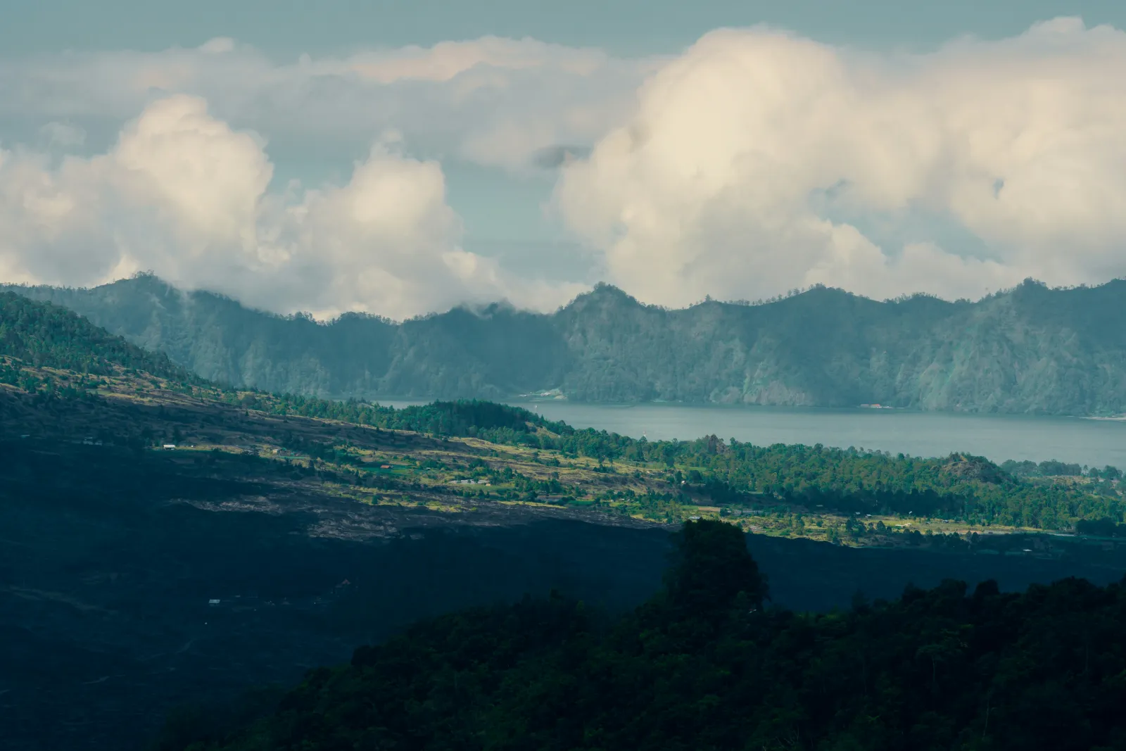
Kintamani is worth more than a dark drive in and out. After the trek you can soak in a lakeside hot spring, visit one of Bali's most important water temples, learn how the caldera formed at the geopark museum and taste Kintamani's own Arabica coffee, all within a short drive of the trailhead.
| Place | What it is | Why go |
|---|---|---|
| Lake Batur (Danau Batur) | Crescent shaped caldera lake, about 7 km long and 1.5 km wide (UNESCO) | Views from every angle, lakeside villages, farmed fish and vegetable fields on volcanic soil |
| Hot springs at Toya Bungkah | Natural volcanic hot spring pools on the lakeshore near the trailhead | The obvious post trek reward for tired legs |
| Pura Ulun Danu Batur | Supreme water temple on the caldera rim, named in old Balinese texts among the Sad Kahyangan, the six great temples | Part of Bali's UNESCO World Heritage cultural landscape, with a dramatic history tied to the 1926 eruption |
| Batur Geopark Museum | Volcano and geology museum in Kintamani | Understand the double caldera you just climbed in |
| Penelokan and the rim road | Viewpoints and cafes along the outer caldera rim | The classic postcard view across to Batur, Abang and the lake |
| Kintamani coffee farms | Arabica coffee grown on the highland slopes | Tasting stops; Kintamani Arabica was the first product in Indonesia to get a Geographical Indication certificate |
| Trunyan village | One of the main villages inside the caldera, on the lakeshore | Known for its own old traditions; visit only with a respectful local guide |
Which hot springs are near Mount Batur?
The hot springs are on the lakeshore at Toya Bungkah, a few minutes from the main trailhead, and several commercial pools there pipe in natural volcanic water, including the Batur Natural Hot Spring. Most sunrise tours offer a hot spring stop as an add on. Bring swimwear and a towel, and a change of clothes for the drive back.
One seasonal note: detikBali reported in July 2026 that the yearly sulfur upwelling in Lake Batur had spread towards Toya Bungkah, the hot spring area. If you travel between June and August, ask your operator whether the lakeside pools are open and whether there is a strong sulfur smell that day. Checked: 9 November 2026.
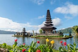
Pura Ulun Danu Batur, the lake temple
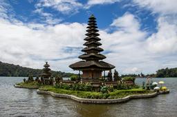
Pura Ulun Danu Batur is the supreme water temple of Bali's subak irrigation system and one of the sites of the Cultural Landscape of Bali Province on UNESCO's World Heritage List, inscribed in 2012. UNESCO describes its crater lake as regarded as the ultimate origin of every spring and river on the island. The temple honours Dewi Danu, goddess of the lake, and was originally at the foot of the volcano; after lava covered almost the whole compound in the 1926 eruption, it was rebuilt on the caldera rim, where it stands today.
For Nepali Hindu visitors, the temple is a striking mix of the familiar and the new: it is also dedicated to Vishnu, and its main 11 tiered meru honours Shiva and Parvati, built in the Balinese way with stacked roofs instead of a shikhara spire. Balinese Hinduism grew out of the same Indian roots as Hinduism in Nepal, but over centuries it took its own form, so expect familiar names in unfamiliar settings. Wear a sarong and sash, and remember that the innermost temple courtyards are for worshippers.
Kintamani coffee
The cool, high slopes around the caldera grow Arabica coffee, and Kintamani Arabica received Indonesia's first official Geographical Indication certificate in December 2008, according to The Jakarta Post. Many sunrise tours stop at a coffee farm on the way back, where you can taste the local Arabica alongside other drinks.
How Batur compares with Mount Bromo
If you are choosing one sunrise volcano for an Indonesia trip, Batur is a genuine climb from Bali, while Mount Bromo in East Java is mostly a jeep ride to a viewpoint followed by a short walk. Bromo is a bigger journey from Bali but a much easier morning on foot. On our 9 November 2026 check MAGMA Indonesia listed Bromo at Level II (Waspada), a level at which the official advice is usually to stay out of the area around the crater, so check its status too. Our Mount Bromo sunrise guide covers how that trip works.
| Question | Mount Batur, Bali | Mount Bromo, East Java |
|---|---|---|
| Main sunrise effort | Hike of about 700 m gain in the dark | Jeep to a viewpoint, then a short walk; crater access depends on the alert level |
| From Bali | Same island, one early morning | Usually a separate overnight trip to Java |
| Best for | Walkers who want a proper climb | Travellers who want a big view with little hiking |
When is the best season for the Mount Batur sunrise trek?
The best season for the Mount Batur sunrise trek is Bali's dry season, roughly April to October, when mornings are most likely to be clear and the trail is dry. May, June and September usually give the best mix of clear skies and smaller crowds; July and August are the busiest months on the summit.
| Months | Season | What to expect on Batur |
|---|---|---|
| April to June | Early dry season | Good chance of clear sunrise, green slopes, moderate crowds |
| July to August | Peak dry season and school holidays in many countries | Usually clear and dry, busiest summit, latest sunrise of the year |
| September to October | Late dry season | Often clear, fewer people than July and August; a good fit for Dashain holidays, while Tihar can fall in early November at the start of the wet season |
| November to March | Wet season | More cloud and rain, slippery trail, more chance of no view; treks may be cancelled in storms |
Season pattern consistent with our month by month guide to the best time to visit Bali. Cloud on Batur is local and can sit in the caldera even in the dry season, so no month guarantees a view.
Dates that affect the trek
- Nyepi, 8 March 2027. Bali's Day of Silence: the island shuts down for 24 hours, people stay indoors and no tours run. Plan the trek for another day.
- Galungan, 13 January 2027, and Kuningan, 23 January 2027. Important Balinese Hindu festival days; temples across Bali are busy with ceremonies, so allow extra time and book ahead.
- Weekends in the dry season. The summit is noticeably more crowded; a weekday morning is calmer.
Is the sunrise guaranteed?
No. Even in the dry season, cloud can roll through the caldera and hide the sun, and in the wet season a clear sunrise is far from certain. Many hikers still enjoy the walk, the sea of clouds and the steaming crater. If a clear view really matters, give yourself a flexible day in Ubud so you can move the trek if the forecast is bad.
How do you fit the Mount Batur trek into a Bali trip from Nepal?
The easiest way to fit the Mount Batur trek into a Bali trip is to base yourself in or around Ubud for two or three nights and do the trek on the second morning, once you have recovered from the flight. Ubud is the closest major base to Kintamani, so pick up times are later and the drive is shorter than from the southern beaches.
There is no direct flight from Kathmandu to Bali. Travellers from Nepal usually connect through Kuala Lumpur, Bangkok or Singapore to Denpasar (Ngurah Rai International Airport); our guide to Kathmandu to Bali flight routes compares the connections. Arriving tired after an overnight connection and then waking at 2:00 am for a volcano is a hard start, so do not plan Batur for your first morning.
Entry rules depend on your passport; see our Indonesia visa page. Bali also has a tourist levy for foreign visitors, paid online through the official Love Bali system.
A simple way to plan the week
- Day 1 to 2: arrive, settle in Ubud, light walks and early nights.
- Day 3: Batur sunrise trek, hot spring, temple and coffee stop, back for an afternoon nap.
- Remaining days: rice terraces, temples and the beaches of the south.
Batur pairs naturally with the rest of central Bali; our list of things to do in Ubud covers the temples, rice terraces and culture nearby, and the wider guide to things to do in Bali helps you balance hikes with beach days.
Whoever you travel with, the key is not to overload the schedule around a 2:00 am start. Our Bali tour packages page shows how a week that combines Ubud, Kintamani and the beaches is usually put together.
Frequently asked questions
How hard is the Mount Batur trek?
The Mount Batur trek is moderate. You climb about 700 m in 1.5 to 2 hours, in the dark, with a steep final section on loose volcanic gravel and a narrow rim at the top. Regular walkers usually manage it well; the descent is the part that tests knees and balance, so trekking poles help.
Do I need a guide for Mount Batur?
Yes, in practice. Local guides from the villages around Mount Batur check groups at the trailhead and independent hikers are asked to hire one there. Bali's 2025 governor's circular also asks foreign tourists to use licensed guides at tourist attractions. Rules are local and can change, so confirm close to your date.
What time does the Batur trek start?
Most Mount Batur sunrise treks start walking between about 3:30 and 4:30 am Bali time, after a hotel pick up between 1:30 and 2:30 am. The aim is to reach the rim 30 to 45 minutes before sunrise, which falls between roughly 5:45 and 6:35 am depending on the month.
How long does it take to climb Mount Batur?
Climbing Mount Batur usually takes 1.5 to 2 hours up and 1 to 1.5 hours down at an average pace, plus an hour or so at the summit. Including the drive from Ubud or the south, most sunrise trek mornings take 7 to 9 hours from hotel pick up to drop off.
Is Mount Batur an active volcano?
Yes. Mount Batur is an active volcano that erupted at least 22 times between 1804 and 2000, most recently in 1999 to 2000. On 9 November 2026 MAGMA Indonesia listed Batur at Level I (Normal), the lowest alert level. Check MAGMA again before your trek and follow any crater advisories.
What should I wear for the Batur trek?
For the Batur trek wear closed trekking shoes with good grip, long trousers or leggings, a quick dry top, and carry a fleece plus a windproof jacket for the cold summit. Add a headlamp, a warm hat, sunscreen and a refillable water bottle. Sandals and flip flops are a common cause of slips.
Can children do the Mount Batur trek?
Children who are used to long walks can do the Mount Batur trek, but there is no official minimum age that we could find, and operators set their own limits (one 2026 operator page uses 10 years). The very early start, cold summit and steep descent are the real challenges. Younger children may enjoy a jeep sunrise tour more.
Is the sunrise guaranteed on Mount Batur?
No, a clear sunrise on Mount Batur is never guaranteed. Cloud can fill the caldera even in the April to October dry season, and the wet season from about November to March brings more cloud and rain. Keep a spare morning in your Bali plan so you can move the trek if the forecast looks poor.
Is Batur harder than Nepal day hikes?
Batur is harder than a Nagarkot sunrise, which is mostly a drive, and close to the Sarangkot walk from Pokhara in time, but steeper and looser at the top. It is far easier than the Poon Hill trek as a whole. At about 1,717 m, Batur is only about 300 m higher than Kathmandu, so altitude is not an issue.
Is Mount Batur sacred?
Yes. Mount Batur and Lake Batur are sacred to Balinese Hindus, and Pura Ulun Danu Batur on the caldera rim is one of Bali's most important temples. Behave on the summit as you would at a temple: modest clothes, no nude or provocative photos, no climbing on shrines, and carry all rubbish down.
Mount Batur trek kasto cha?
In plain terms, the Mount Batur trek is a short but steep night hike, moderate for most people. If you have walked up Sarangkot or done a short Annapurna trek, you will find it familiar. Take a fleece, good shoes and a headlamp, go with a local guide, and do not plan it for the morning after your flight.