





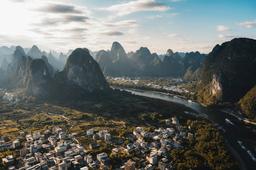
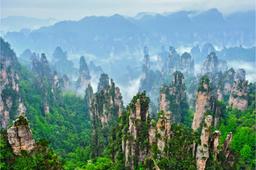

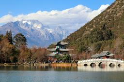
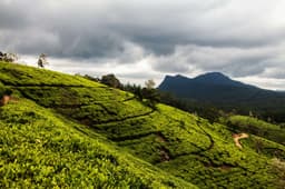
Short answer: the Kenya Great Rift Valley is the long, sunken valley that runs north to south through the middle of Kenya, lined with steep escarpments, volcanoes and a chain of lakes. For most visitors it means four easy places from Nairobi: the escarpment viewpoints on the road west, Lake Naivasha with its hippos and Crescent Island walking safari, Hell's Gate National Park for cycling among zebra and giraffe, and Lake Nakuru for rhinos and, in some years, flamingos. Further north, Lake Bogoria's hot springs and freshwater Lake Baringo reward travellers with more time. Mount Longonot gives active hikers a steep crater climb.
This guide walks through the Great Rift Valley in Kenya lake by lake and park by park, with the facts that matter on the ground: what each place is actually like, what you can do there on foot, by bike or by boat, how the rising lakes have changed the scenery since the 2010s, why the Hell's Gate gorge closes in heavy rain, and how the October to December 2026 rains may affect a visit. If you are still shaping a wider trip, our complete Kenya travel guide covers the country as a whole, and this page goes deep on the Rift. We write for curious travellers everywhere, with extra notes for Nepali trekkers and families who are used to the Himalaya and want to know how the Rift compares.
What is the Kenya Great Rift Valley?
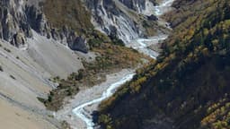
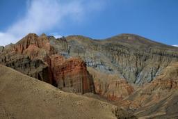
Kenya's Great Rift Valley is part of the much longer East African Rift, a place where the Earth's crust is being slowly pulled apart. The result in Kenya is a wide valley floor bordered by high walls, dotted with volcanoes such as Longonot, and holding a string of lakes that range from fresh water to strongly alkaline soda. For a traveller, it is the scenic heart of the country between Nairobi and the western highlands, and it fits easily alongside a Masai Mara safari.
What makes the Kenya Great Rift so rewarding is how much variety sits close together. Within a short drive of each other you can stand on an escarpment edge looking across the valley floor, take a boat among hippos on a freshwater lake, cycle through a national park where you are allowed out of the vehicle, and watch rhinos grazing beside a soda lake. It is unusual in East Africa to be able to mix walking, cycling, boating and classic game viewing in such a small area. It is also one of the stops most travellers pass through anyway, because the main road from Nairobi towards the Masai Mara and western Kenya runs along the valley. Our overview of the best places to visit in Kenya shows where the Rift sits among the coast, the savannah parks and the mountains.
The UNESCO Kenya Lake System in the Great Rift Valley
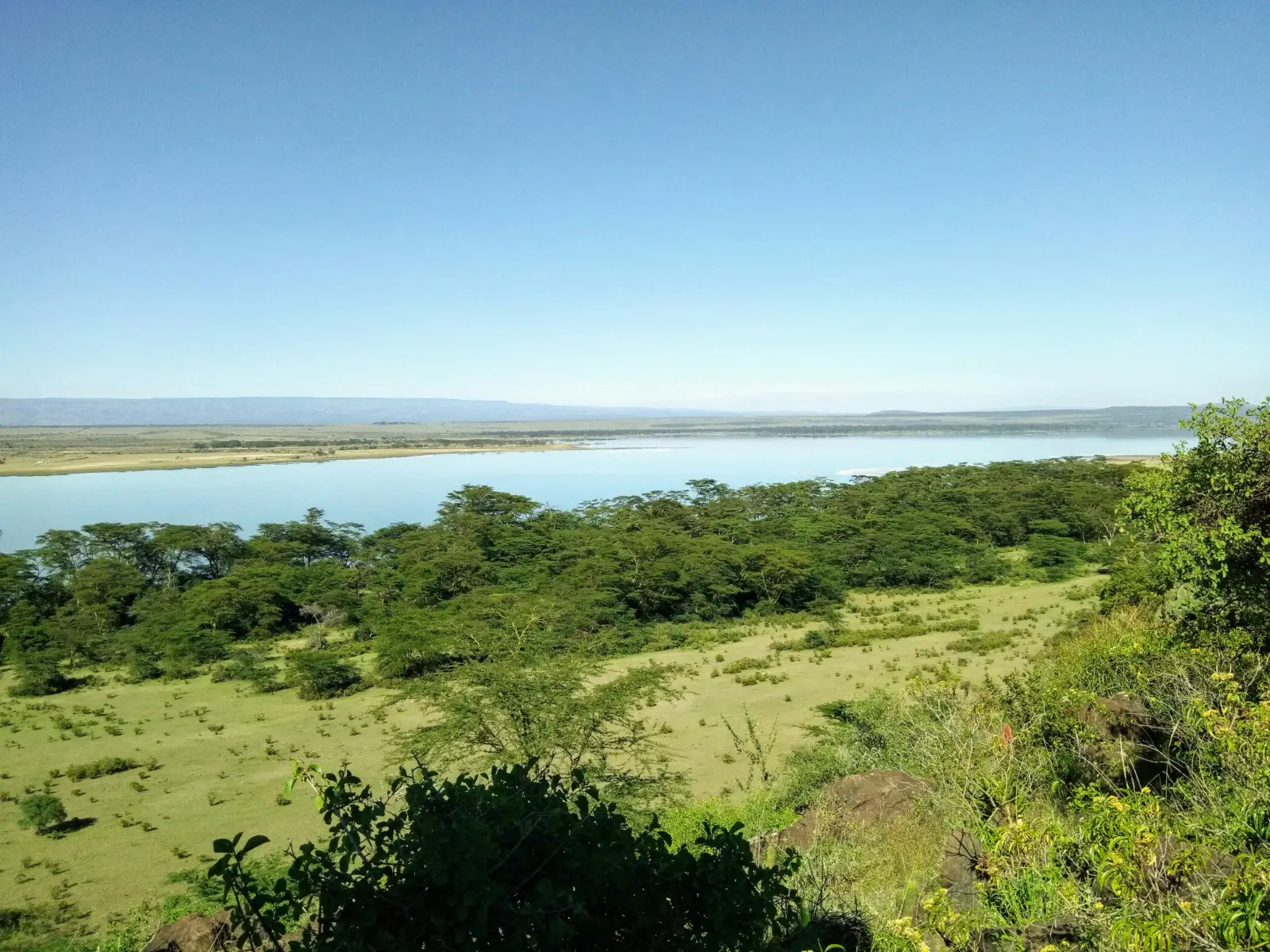
Three of the Rift's lakes, Bogoria, Nakuru and Elementaita, are protected together as a UNESCO World Heritage Site called the Kenya Lake System in the Great Rift Valley. It was inscribed in 2011. UNESCO describes the three as relatively shallow alkaline lakes, surrounded by hot springs, geysers and the steep escarpment of the Rift, and calls the property the single most important foraging site for the lesser flamingo anywhere.
The official listing gives these figures, which are useful for understanding why the area matters to conservation (checked 12 Nov 2026 on the UNESCO World Heritage page):
| Component lake | Area in the World Heritage property | What UNESCO highlights |
|---|---|---|
| Lake Nakuru | 18,800 ha | Black rhino, Rothschild's giraffe, flamingo feeding grounds |
| Lake Bogoria | 10,700 ha | Hot springs and geysers along the shore, greater kudu |
| Lake Elementaita | 2,534 ha | Small soda lake in open grassland, birdlife |
| Whole property | 32,034 ha | Up to 4 million lesser flamingos moving between the three lakes for most of the year; 13 globally threatened bird species; main nesting and breeding grounds for great white pelicans in the Great Rift Valley |
UNESCO also names lion, cheetah and wild dog among the mammals of the property, and it was listed under three natural criteria: exceptional natural beauty, ongoing ecological processes, and importance for biodiversity. In its 2025 assessment, the IUCN World Heritage Outlook rated the site's conservation outlook as "significant concern", noting that the Rift Valley lakes of Kenya have reached levels last seen in the early 1900s, and that the diluted water has cut the cyanobacteria that lesser flamingos feed on (IUCN World Heritage Outlook, checked 12 Nov 2026).
Lake by lake: how the Rift Valley lakes compare
The five lakes most travellers ask about are very different from each other. Fresh water lakes such as Naivasha and Baringo hold hippos, crocodiles and fish, while soda lakes such as Nakuru, Elementaita and Bogoria are the ones flamingos depend on. This table pulls the key facts together from the official UNESCO, Ramsar and Kenya Wildlife Service (KWS) pages.
| Lake | Water | Protection | Best known for | Wildlife you may see |
|---|---|---|---|---|
| Lake Naivasha | Fresh, shallow | Ramsar Wetland of International Importance since 10 April 1995 (30,000 ha) | Boat trips, Crescent Island walking safari, base for Hell's Gate and Longonot | Hippos, waterbirds, giraffe, zebra and antelope on Crescent Island |
| Lake Nakuru | Alkaline (soda) | National park (gazetted 1968) and part of the UNESCO site | Rhino sanctuary, classic game drive, viewpoints over the lake | Black and white rhino, Rothschild's giraffe, about 450 bird species, flamingos in some years |
| Lake Elementaita | Alkaline (soda) | Part of the UNESCO site | Quiet shoreline and grassland scenery between Naivasha and Nakuru | Waterbirds, flamingos at times, plains game around the shore |
| Lake Bogoria | Alkaline (soda) | Ramsar site since 27 August 2001 (10,700 ha) and part of the UNESCO site | Hot springs and geysers on the shore | Lesser flamingos, greater kudu |
| Lake Baringo | Fresh | Ramsar site since 10 January 2002 (31,469 ha) | Birdwatching by boat, lakeside communities | Nearly 500 bird species, hippos, Nile crocodiles |
Checked: 12 Nov 2026, sources: Ramsar, Lake Naivasha, Ramsar, Lake Bogoria, Ramsar, Lake Baringo, KWS Lake Nakuru National Park page (linked in the Lake Nakuru section below).
Why the Rift Valley lakes keep rising
If you look at older photos of the Rift lakes and then visit today, the difference can be striking. Since about 2010 the lakes have risen sharply, drowning shoreline acacia trees and, in places, flooding homes, schools and hospitals. A research summary published by The Conversation, based on a study of lake areas from 1984 to 2020, found that the lakes showed small fluctuations until 2010 and then grew quickly after a jump in rainfall in their catchments from about 2009 (The Conversation, checked 12 Nov 2026).
| Lake | Rise between lowest and highest level in the study |
|---|---|
| Lake Baringo | 8.2 m (area grew from 118 km² at its 1995 low to 195 km² in 2014 and 2020) |
| Lake Naivasha | 7.5 m |
| Lake Nakuru | 6.4 m |
| Lake Bogoria | 5 m |
| Lake Elementaita | 2.4 m |
The same article cites a Kenyan government estimate that about 80,000 households, or 400,000 people, have been affected by floods around the lakes since 2010. The study's explanation is surprisingly simple: mean annual rainfall rose by up to 30 percent in the Baringo, Bogoria and Solai catchments and by 21 percent around Nakuru, and only a very small change in the water balance is needed to lift these lakes by metres. For visitors, this is why the drowned trees at Naivasha look so dramatic and why flamingo numbers swing from year to year. Kenya's national weather service also warned in its October to December 2026 outlook that rising water in the Rift Valley lakes may worsen shoreline flooding this season.
Where is the best viewpoint over the Rift Valley?
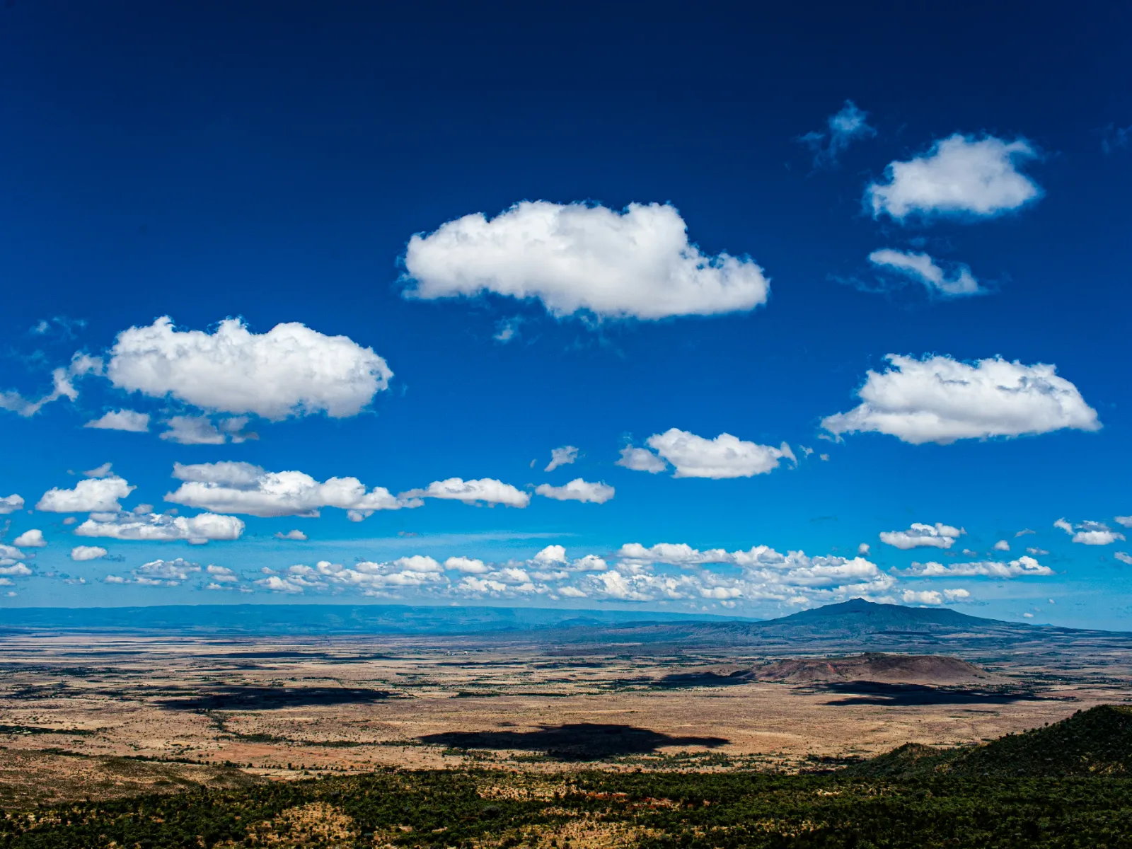
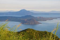
The easiest and most popular viewpoints are on the escarpment along the road from Nairobi towards Naivasha, where the land suddenly drops away and the whole valley floor opens up below you. On a clear morning you can see the cone of Mount Longonot and the plains stretching west. Lonely Planet's Nairobi to Naivasha road trip names Mathore Viewpoint as one of these stops (Lonely Planet, checked 12 Nov 2026).
Most drivers and guides heading for Naivasha will pull in at one of the roadside lookouts on the escarpment, many of which have curio stalls beside them. A few practical points:
- Go early. Morning light is clearer and haze builds through the day, especially in the dry season when dust hangs over the valley floor.
- Stop on the way down, not on the way back. You are fresher, the light is better, and return traffic on the escarpment can be slow with heavy trucks.
- Keep an eye on the road. The viewpoints sit right beside a busy highway, so watch children and step back from the traffic side.
- Look for the landmarks. The volcano of Longonot is the most obvious shape on the valley floor. Your guide can point out the others on the day.
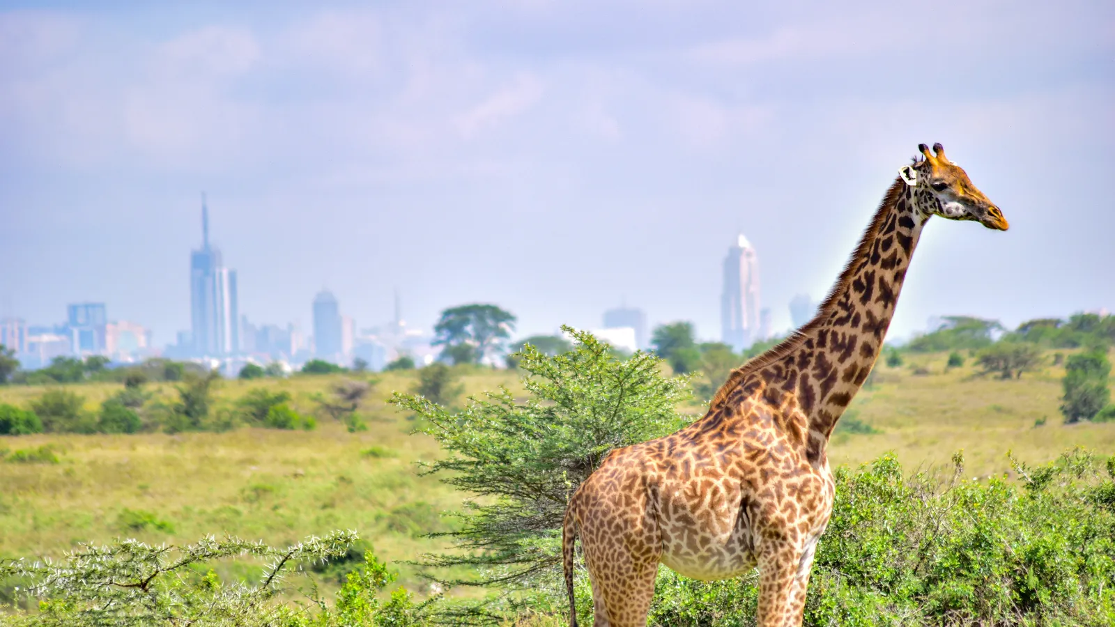
The same Lonely Planet route mentions the small chapel at Mai Mahiu, built by Italian prisoners of war in 1942, about 50 km from Nairobi. It is a short stop if your driver takes that route. Other good views of the Rift come from inside the parks rather than the road: the crater rim of Longonot looks straight down into a forested crater and out across Lake Naivasha, and the viewpoints in Lake Nakuru National Park look over the whole lake and its shoreline forest.
For Nepali travellers, the scale can feel familiar and new at the same time. The Rift does not have Himalayan heights, but the escarpment drop is long and the views are wide. Think of the feeling of looking down into a big valley from a ridge road, but with flat, pale savannah in place of terraced fields.
What can you do at Lake Naivasha?
Lake Naivasha is the Rift Valley's most relaxed base: a large, shallow freshwater lake where the main activities are a boat trip among hippos and waterbirds, a guided walk among giraffe and zebra on Crescent Island, and day visits to Hell's Gate and Mount Longonot nearby. It is the closest of the big lakes to Nairobi and the one most often added to a Masai Mara trip.
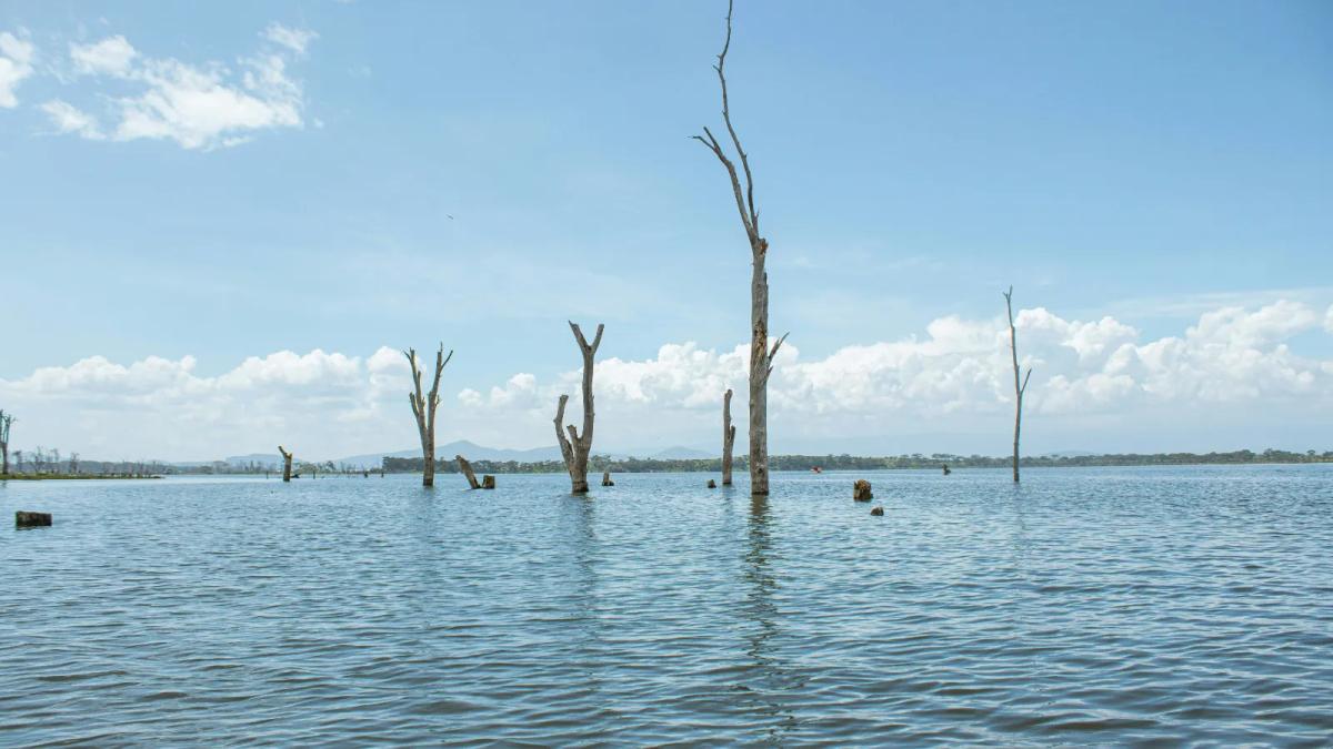
Ramsar, the international wetlands convention, describes Naivasha as a shallow freshwater lake in the southern Rift Valley supporting a diverse community of waterbirds and many large mammals. It sits at about 1,884 m above sea level, which is higher than Kathmandu, so mornings and evenings can be cool. Flower farming is the main industry around the lake, and you will see large greenhouses on the drive in. The lake is one of the most affected by the post 2010 rise in water, and the bare trunks of drowned acacia trees standing in the water have become one of its best known sights.
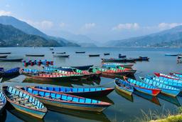
Boat trips and hippos on Lake Naivasha
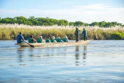
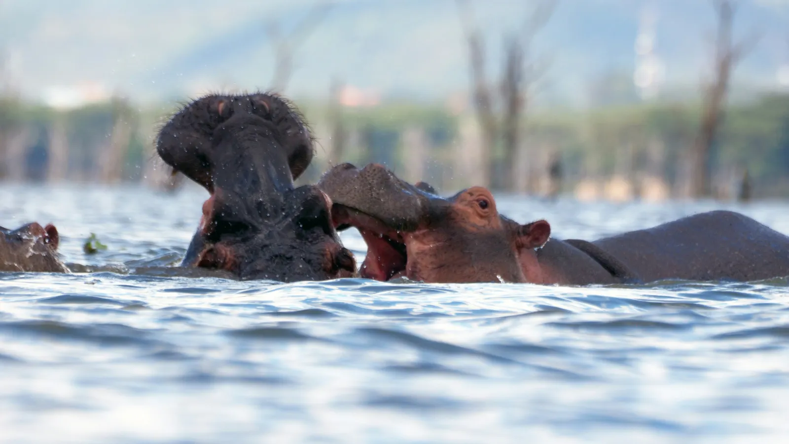
Yes, Lake Naivasha has a sizeable hippo population, and a boat trip is the usual way to see them. Boat rides are offered from lodges and landing sites around the lake, from a short loop to a longer trip that includes Crescent Island. On the water you can expect:
- Hippo pods resting in the shallows, often close to reed beds and the drowned trees.
- Plenty of waterbirds on the water and perched on the drowned trunks.
- Good views back to the Mau escarpment and to Longonot on clear days.
Hippos are the main safety concern around the lake. They come out of the water to graze at night and can be dangerous if they feel cut off from the water. Lodges and guides on the lake shore generally advise guests not to walk around in the dark near the water, and this is advice worth following without exception. On the boat, stay seated and keep your hands inside. For wider safety advice across the country, see our guide on whether Kenya is safe to visit.
Crescent Island walking safari
Crescent Island is a small sanctuary on Lake Naivasha where you can walk with a guide among giraffe, zebra, wildebeest and impala, because there are no predators on the island. Visits are arranged from most lodges and camps around the lake, usually combined with a boat trip. Water levels have changed the shoreline a lot since 2010, so ask on the day how the island is being reached.
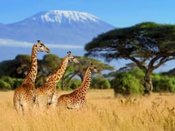
For families with children, first time safari travellers and anyone who finds hours in a vehicle tiring, Crescent Island is one of the highlights of Kenya's Great Rift Valley. You walk on open grassland, the guide explains what you see, and the animals are used to quiet visitors on foot. It is also good preparation for the Masai Mara, because seeing a giraffe from a few metres away on foot gives children a sense of scale that photos never do. Keep a respectful distance, never get between a mother and her young, and follow the guide's instructions about where to stand.
| Lake Naivasha activity | Who it suits | Notes |
|---|---|---|
| Boat trip | Everyone, including grandparents and small children | Best early morning or late afternoon; hippos and birds |
| Crescent Island walk | Families, first time safari travellers, photographers | Guided walk among herbivores; no large predators |
| Hell's Gate day trip | Active travellers, cyclists, teenagers | Cycling and walking inside a national park; see below |
| Mount Longonot hike | Fit hikers and trekkers | Steep crater climb; start early |
| Lakeside rest day | Couples, honeymooners, anyone between long drives | A good pause between Nairobi and the Masai Mara |
What is Hell's Gate National Park known for?
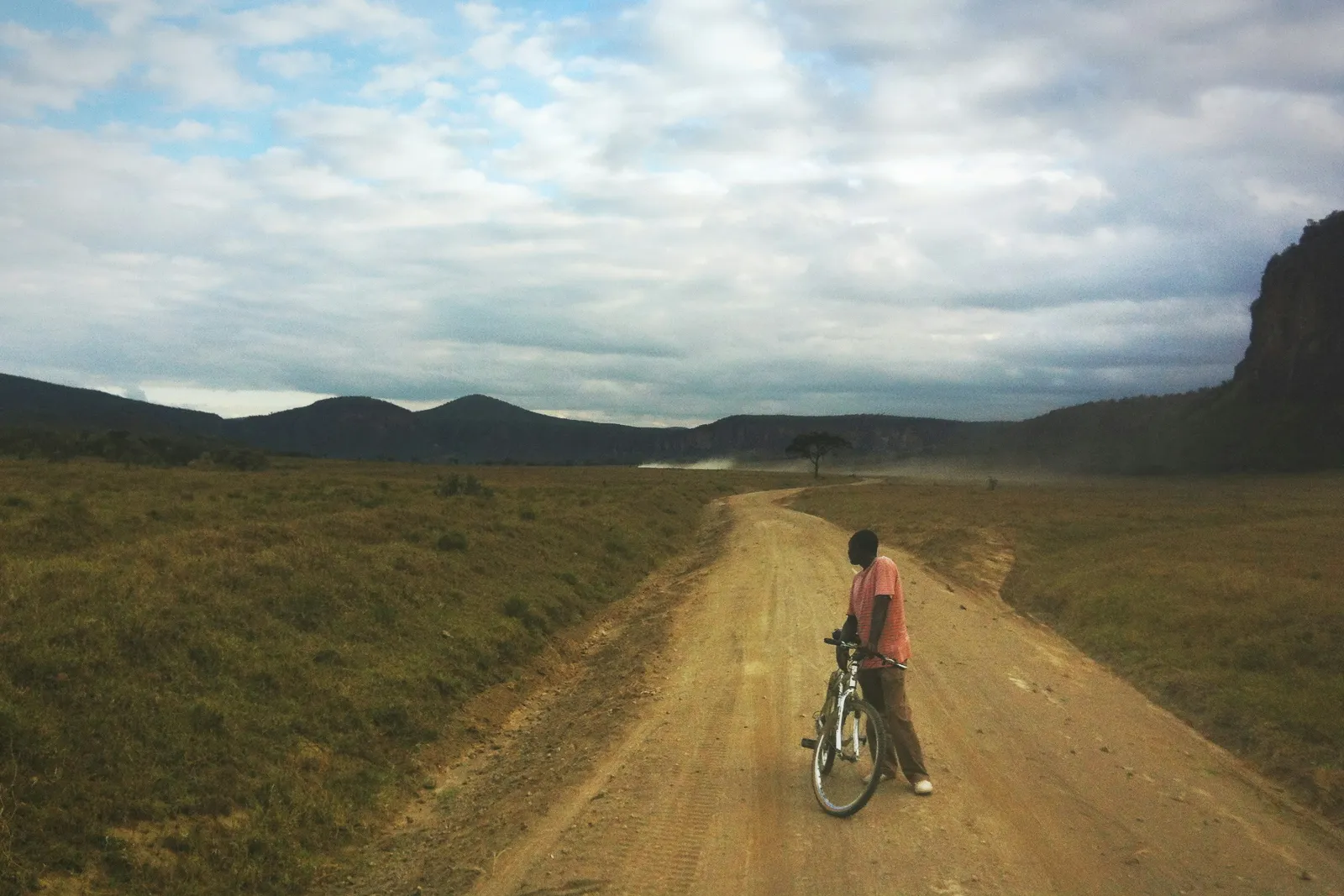
Hell's Gate National Park is known for towering cliffs, water carved gorges, volcanic rock towers such as Fischer's Tower, and the rare chance to cycle and walk among zebra, giraffe and buffalo inside a Kenyan national park. It lies on the floor of the Rift Valley just south of Lake Naivasha, and it is a favourite active day out in the region.
KWS describes the park as covering about 68 km² and sitting between 1,560 m and 2,187 m above sea level. It was gazetted in 1984. The main entrance is Elsa Gate, which KWS says is 25 km from the junction with the Moi South Lake Road, the road that runs along the southern shore of Lake Naivasha. Gates open at 6:00 am and close at 6:00 pm, unless you are staying overnight (checked 12 Nov 2026, KWS, Hell's Gate National Park).
| Feature in Hell's Gate | What it is (per KWS) |
|---|---|
| Fischer's Tower | A rugged volcanic rock column about 25 m high, named after the German explorer Gustav Fischer, who visited in 1883; popular for rock climbing |
| Hobley's Volcano and Ol Basta Rock Tower | Each has a walking nature trail |
| Obsidian caves | Volcanic caves with a picnic site |
| Viewpoints and picnic sites | Lake View Point, Moibeni, Hell's Kitchen and Kapartania View Point |
| Mervyn Carnelley Raptor Hide | A one way window bird hide above Endachata campsite |
| Olkaria geothermal area | Geothermal power station and a geothermal spa |
| Campsites | Public campsites at Naiburta and Oldubai, and a special campsite at Endachata |
KWS lists zebra, eland, giraffe, buffalo, serval cat, hartebeest, Thomson's gazelle, klipspringer and leopard among the park's wildlife, along with more than 103 bird species. The cliffs are also known for birds of prey, which is why there is a dedicated raptor hide.
Cycling in Hell's Gate
Yes, you can cycle in Hell's Gate National Park. KWS confirms that walking and cycling are allowed on the grasslands and dust roads, and that bicycles can be hired at Elsa Gate. The main track runs along the valley floor between the cliffs, past Fischer's Tower, towards the gorge area and the geothermal hills.
Cycling here is gentle rather than technical, but it is real exercise on dirt and gravel. Some tips:
- Check the bike before you set off. Brakes, tyres and seat height matter on loose surfaces. Ask for another bike if anything feels wrong.
- Start early. It gets hot and dusty by midday, and the light on the cliffs is best in the morning.
- Carry water and sun protection. There is little shade on the valley floor. Remember that single use plastic is prohibited in Kenyan national parks under KWS rules, so bring a refillable bottle.
- Give animals space. KWS asks visitors to stay at least 20 m from wildlife. Buffalo in particular should be given a wide berth, and you should never cycle towards a group of animals.
- Share the road. Vehicles also use the main track, with a 40 km/h speed limit.
For Nepali families, Hell's Gate is often the day teenagers enjoy most, because it feels like an adventure rather than a game drive. Younger children can ride in the vehicle while older family members cycle part of the way.
The guided gorge walk and flash-flood safety
The narrow gorge at the southern end of the park is the most dramatic part of Hell's Gate, with steep, water polished walls and scrambles over rocks. It is also the most dangerous part, because heavy rain on the surrounding hills can send a flash flood through the gorge with very little warning, even if it is not raining where you are standing.
This risk is real. On Sunday 1 September 2019, a flash flood swept away a group visiting the gorge. The Associated Press reported that seven bodies were recovered, six tourists and their driver, and that gorge visits were suspended; KWS Director General John Waweru said early warning was the only way to prevent such incidents happening again (AP via KSL, 2 September 2019). Al Jazeera's report of the same flood added that in 2012 floods in the park killed seven members of a church group on a trek (Al Jazeera, 2 September 2019).
What this means for your visit:
- Only enter the gorge with a guide, and follow the guide's call on whether it is safe that day.
- Ask at Elsa Gate whether the gorge is open. Access can be suspended in wet weather. The official KWS page does not publish a gorge status, so the gate is the place to check on the day.
- Do not go in if it is raining or if heavy cloud sits over the hills above the park, and leave immediately if your guide tells you to.
- Be extra careful in the rainy seasons. Kenya's weather service has forecast above average rainfall for Nakuru County, where Hell's Gate lies, for October to December 2026, with rains continuing into January and heavy rainfall events likely. A strong El Niño is part of the reason (checked 12 Nov 2026, Kenya Meteorological Department, OND 2026 seasonal forecast). Expect the gorge to be closed or restricted on some days in this period.
- Wear shoes with grip. The rocks are smooth and can be slippery even when dry.
If the gorge is closed, Hell's Gate is still well worth the visit for the cycling, the cliffs, Fischer's Tower and the wildlife on the open valley floor. Our round-up of things to do in Kenya has more active ideas beyond the Rift.
Is Lake Nakuru worth visiting for rhinos and flamingos?
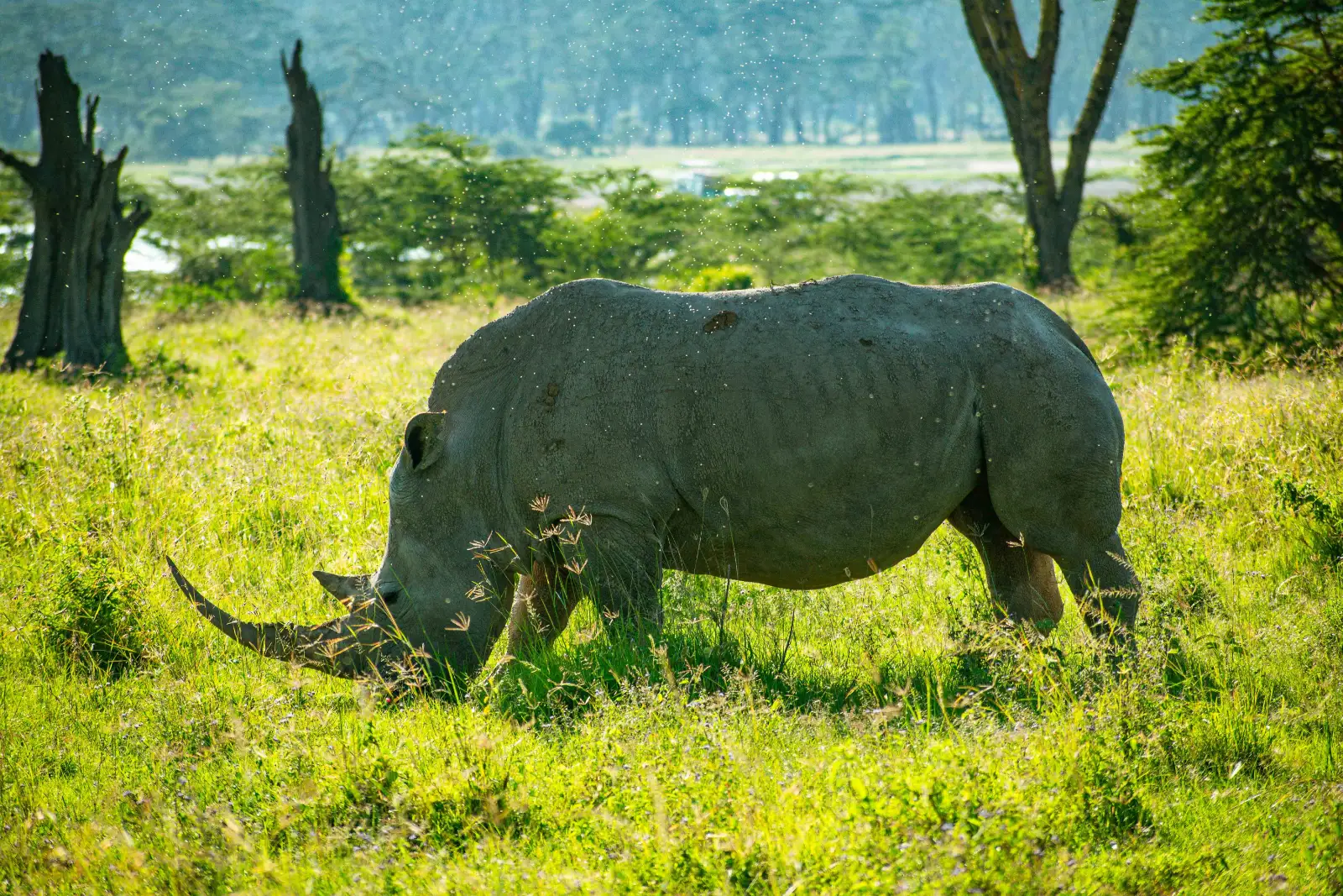
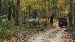
Lake Nakuru is worth visiting mainly for rhinos, and treat flamingos as a bonus rather than a promise. KWS describes the park as Kenya's first rhino sanctuary, designated in 1987, and home to both black and white rhinos. Flamingo numbers depend on the lake level and the birds' food supply, and they have dropped sharply since the lake rose.
Key facts from KWS (checked 12 Nov 2026, KWS, Lake Nakuru National Park):
- The park covers 188 km² and lies about 156 km north west of Nairobi on the main A104 road.
- The lake was first protected in 1961 as a bird sanctuary, and the area became a national park in 1968.
- About 450 bird species have been recorded.
- There are three gates: the Main Gate, about 4 km from Nakuru city, Lanet Gate and Nderit Gate. Gates open at 6:00 am and close at 6:00 pm.
- Attractions include scenic viewpoints, picnic sites and Makalia Waterfalls.
On flamingos, the honest picture comes from the IUCN's 2025 assessment of the World Heritage site: lesser flamingos on Kenya's Rift Valley lakes numbered roughly a million from 1990 to 2014, then fell drastically to only about 200,000 birds, and the assessment says Lake Nakuru had already lost its flamingo population. The drop is linked to rising lake levels diluting the water and reducing the cyanobacteria that lesser flamingos eat. Birds move between Nakuru, Elementaita, Bogoria and other soda lakes as conditions change, so on any given week you may see a pink shoreline or very few. If flamingos are the main reason for your trip, ask a local guide shortly before you travel where the birds are gathering.
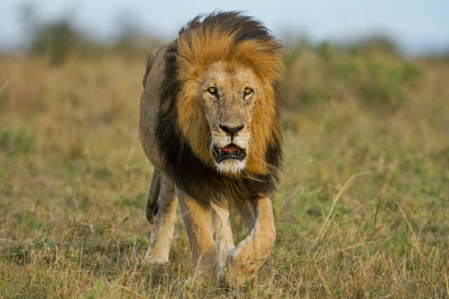
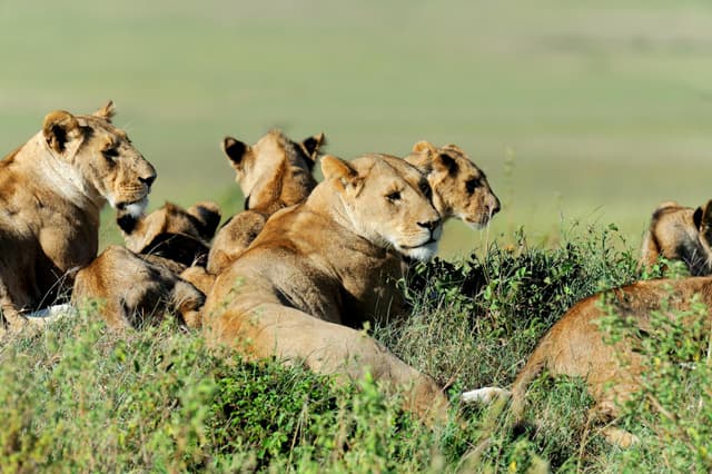
Even without flamingos, a game drive at Nakuru is a strong half day or full day. The compact size means you have a good chance of seeing rhinos. UNESCO also lists Rothschild's giraffe and lion among the mammals of the lake system. Our detailed Lake Nakuru National Park guide covers game drive routes, viewpoints and what to expect at each gate.
What about Lake Elementaita, Lake Bogoria and Lake Baringo?
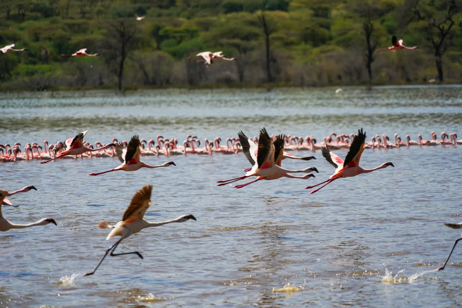
These three lakes are quieter alternatives to Naivasha and Nakuru. Elementaita is a small soda lake right beside the main road between them, Bogoria is known for hot springs, geysers and flamingos, and Baringo is a freshwater lake famous for birdwatching by boat. Bogoria and Baringo lie well north of Nakuru, so they suit travellers with an extra day or two.
Lake Elementaita
Lake Elementaita is the smallest of the three UNESCO lakes, with 2,534 ha inside the World Heritage property. It sits in open grassland between Naivasha and Nakuru. Its appeal is calm scenery, shoreline birdlife and a less crowded feel. Flamingos visit when conditions suit them. Because it is right on the way, it works as a quiet stop or an overnight between the two bigger lakes rather than a destination on its own.
Lake Bogoria
Lake Bogoria is an alkaline soda lake that Ramsar describes as dominated by hot springs, with geysers on the shore that some local people believe have medicinal value. Ramsar notes it as a stopover for up to 1.5 million migratory birds, including the lesser flamingo, and lists the greater kudu among its important species. When flamingos are present in large numbers, Bogoria is one of the most striking sights in the whole Rift.
Stay well back from the hot springs and geysers. The water is scalding hot and the ground at the edges can be unstable. Keep children close and follow any signs or ranger directions.
Lake Baringo
Lake Baringo is a freshwater lake in the eastern arm of the Rift with nearly 500 bird species recorded, according to Ramsar, along with hippos and Nile crocodiles. It also has seven freshwater fish species, including a tilapia found only in this lake, and four communities around the shore depend on it for fishing, food and water. Boat trips with a local bird guide are the main activity, and it is a strong choice for keen birders. Baringo has also grown the most of all the lakes since 2010, and the study cited above records its area increasing by more than half.
| Lake | Choose it if you want | Skip it if |
|---|---|---|
| Elementaita | A calm stop with lake views between Naivasha and Nakuru | You only have one day in the Rift |
| Bogoria | Hot springs, geysers and the chance of big flamingo flocks | You are short of time; it is a long drive north |
| Baringo | Serious birdwatching from a boat, hippos and crocodiles | You prefer big game to birds |
Can you hike Mount Longonot?
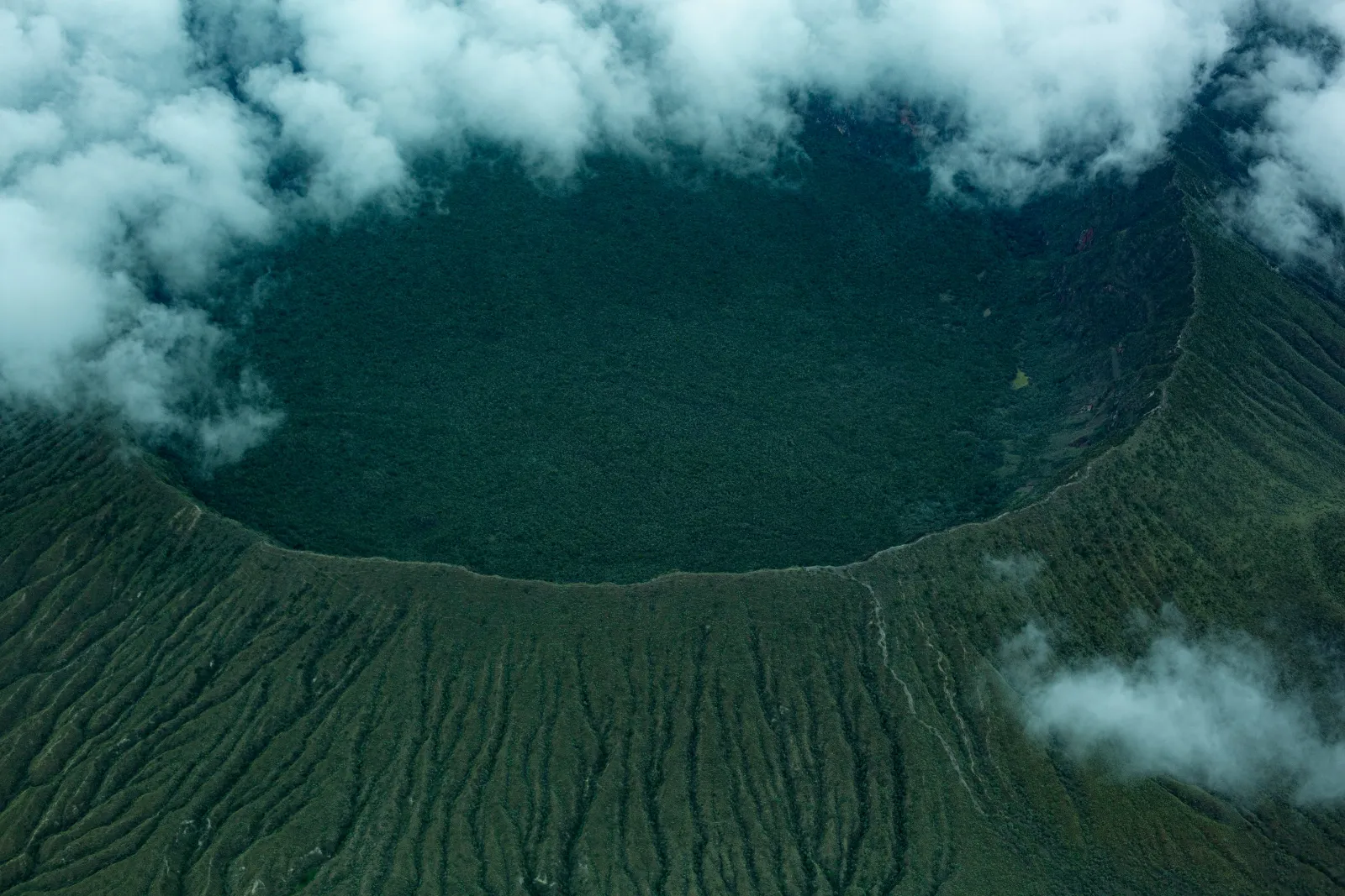
Yes. Mount Longonot is a young volcano inside a small national park on the floor of the Rift (KWS describes it as a stratovolcano that last erupted in 1863), and the hike up to its crater rim is one of the best day hikes near Nairobi. It is steep and dusty rather than technical: a climb on loose volcanic ash and rock to the rim, then an optional loop around the crater with views down into the forested crater and out over Lake Naivasha.
KWS describes Mount Longonot National Park as covering about 52 km², gazetted as a national park in 1983 and lying 90 km from Nairobi on the Nairobi to Nakuru highway. Gates open at 6:00 am and close at 6:00 pm (checked 12 Nov 2026, KWS, Mt Longonot National Park). KWS asks hikers to stay on marked trails, carry out all rubbish and avoid single use plastic.
How hard is it? For a Nepali trekker who has walked to Poon Hill or Langtang, Longonot will not feel high, but it will feel steep. The difficulty comes from the gradient, the loose surface underfoot, sun exposure and dust, not from altitude. Useful points:
- Start as early as the gate allows. There is very little shade and the midday sun is strong.
- Carry plenty of water in a refillable bottle, plus snacks, sunscreen, a hat and a light layer for wind on the rim.
- Wear trail shoes or boots with grip. The descent on loose ash is where most people slip. Trekking poles help.
- Decide on the rim loop at the top. The climb to the first viewpoint on the rim is enough for many families. The full loop is a longer, more exposed walk.
- Avoid it in heavy rain. The ash path becomes slippery and gullies can carry water.
Our Mount Longonot crater rim hike guide covers the trail stage by stage, with tips on pacing and what to pack.
When is the best time to visit the Rift Valley?
The best time to visit Kenya's Great Rift Valley is during the drier months, broadly late June to October and again from late December or January to February. Tracks are firmer, the Hell's Gate gorge is less likely to be closed, and the Longonot path is safer. The lakes are worth visiting all year, but the main rainy seasons, March to May and October to December, bring more risk of closures and muddy roads.
| Period | What to expect in the Rift Valley | Good for |
|---|---|---|
| January to February | Usually drier and warm by day | Hiking Longonot, cycling Hell's Gate, combining with a safari |
| March to May | Long rains season; heavier showers, muddy tracks, higher gorge flood risk | Green scenery and fewer visitors, with flexible plans |
| June to October | Generally drier; mornings at Naivasha can be cool | Pairing the Rift with the Masai Mara in the migration season |
| October to December | Short rains season; in 2026 Kenya's weather service forecasts above average rain in Nakuru and Baringo counties, continuing into January | Birdwatching and green landscapes; check gorge and road conditions daily |
A note for 2026: the October to December 2026 outlook from the Kenya Meteorological Department, issued on 31 August 2026, puts Nakuru, Baringo and Nairobi counties in the above average rainfall group, with the rains in Nakuru and Baringo already continuing from September and expected to run into January, and heavy rainfall events likely. It also flags rising water in the Rift Valley lakes as a factor that may worsen shoreline flooding. Checked: 12 Nov 2026, Kenya Meteorological Department OND 2026 seasonal forecast. If you are visiting in late 2026 or early 2027, build in some flexibility and check local conditions close to the day.
For Nepali travellers, the Dashain and Tihar holidays usually fall around October and early November, which is the start of Kenya's short rains. That does not rule out a trip, because rain in the Rift often comes in afternoon showers rather than all day, but it does mean you should not count on the Hell's Gate gorge being open. December and January school holidays fall in a window that is often drier. Our guide to the best time to visit Kenya sets out the seasons for the whole country, including the Masai Mara migration months.
How do you get there from Nairobi?
You reach the Rift Valley from Nairobi by road, heading north west on the A104 towards Naivasha and Nakuru. Lake Naivasha is roughly 95 km from Nairobi by road, the Longonot gate is about 90 km, and Lake Nakuru National Park is about 156 km, so all three work as day trips, though an overnight makes the day far less rushed.
| From Nairobi to | Approximate road distance | Source |
|---|---|---|
| Mount Longonot National Park | 90 km on the Nairobi to Nakuru highway | KWS |
| Naivasha | About 95 km | Lonely Planet |
| Hell's Gate (Elsa Gate) | Via Naivasha, then 25 km from the Moi South Lake Road junction | KWS |
| Lake Nakuru National Park | About 156 km on the A104 | KWS |
| Lake Bogoria and Lake Baringo | Well beyond Nakuru to the north; usually done with at least one overnight | Plan with your driver |
Driving times vary a lot. Leaving Nairobi itself can take a long time in rush hour traffic, and the escarpment road carries many heavy trucks, so travel times depend on when you set off and what is happening on the road that day. Leave early, plan the viewpoint stop on the way down, and avoid driving the escarpment after dark. In the rainy season, allow extra time for slow sections and for road repairs.
Most visitors travel with a driver guide in a safari vehicle, which makes it easy to combine the Rift with the Masai Mara, since the road to the Mara also passes this way. Public transport (matatus and buses) runs between Nairobi, Naivasha and Nakuru, and KWS notes public transport is available towards Hell's Gate, but reaching the park gates and getting around inside the parks is much simpler with your own vehicle. If you are spending a night in the capital first, our Nairobi travel guide covers where to stay and what to see before you head out.
Is the Rift Valley a day trip from Nairobi?
Naivasha with either Hell's Gate or Crescent Island and a boat ride is a full but realistic day trip, and Longonot alone is a classic day hike. Lake Nakuru as a day trip is possible but long. Trying to fit Naivasha, Hell's Gate and Nakuru into a single day means most of it is spent driving. One or two nights around Naivasha or Nakuru is the better choice for most travellers, and three or more if you want Bogoria and Baringo.
How do you plan a Rift Valley trip from Nepal?
From Nepal, the Rift Valley is best planned as part of a wider Kenya trip that starts in Nairobi, rather than as a trip on its own. There are no direct flights between Kathmandu and Nairobi (FlightConnections, checked 12 Nov 2026), so travellers connect through a hub; Qatar Airways, for example, routes the journey via Doha. Once in Nairobi, add the Rift lakes on the road to or from the Masai Mara.
Points that Nepali travellers and the Nepali diaspora often ask about:
- Health documents. Kenya has yellow fever vaccination requirements that depend on your route, and travellers from Nepal regularly ask about them. Our guide to yellow fever rules for Kenya from Nepal explains what to check before you fly.
- Entry rules. For travel authorisation requirements for Nepali passport holders, see our Kenya visa guide, and always confirm on the official site shortly before travel.
- Pairing with a safari. Most travellers combine the Rift with two or three nights in the Masai Mara. Our Masai Mara safari guide explains the reserve, the seasons and what a game drive is like.
- Who it suits. Families like Crescent Island and the Naivasha boat ride; active couples and trekkers enjoy Hell's Gate cycling and Longonot; honeymooners often choose a lakeside lodge at Naivasha for a quieter night between long drives; keen birders head to Baringo and Bogoria.
- What to pack. Layers for cool mornings at Naivasha, a sun hat, sunscreen, a refillable water bottle (single use plastic is banned in the parks), shoes with grip for Longonot and the gorge, and a light rain jacket in the wet seasons.
- Money. Kenya uses the Kenyan shilling (KES). Cards work at many lodges, but carry some local cash for small purchases at viewpoints and markets, and check the current NPR, USD and KES exchange rates before you travel.
- Respect local communities. Ask before photographing people, especially around Baringo and at roadside stalls.
If you want to see how the Rift Valley fits into a full trip with the Masai Mara, Amboseli or the coast, you can browse our Kenya tour packages.
Frequently asked questions
How far is Lake Naivasha from Nairobi?
Lake Naivasha is roughly 95 km from Nairobi by road, heading north west on the A104 and down the Rift Valley escarpment. Driving time depends heavily on Nairobi traffic and trucks on the escarpment, so leave early. Mount Longonot's gate, on the same road, is about 90 km from Nairobi according to KWS.
Can you cycle in Hell's Gate National Park?
Yes. Kenya Wildlife Service allows walking and cycling on the grasslands and dust roads of Hell's Gate National Park, and bicycles can be hired at Elsa Gate. You ride past cliffs and Fischer's Tower among zebra, giraffe and buffalo. Keep at least 20 m from animals, carry water and start early to avoid heat.
Are there flamingos at Lake Nakuru now?
Flamingos at Lake Nakuru vary from year to year and cannot be promised. The IUCN's 2025 assessment says lesser flamingos on Kenya's Rift Valley lakes fell from roughly a million to about 200,000 since 2014, and that Nakuru had lost its flamingo population, as rising lake levels reduced their food supply. Flamingos move between Nakuru, Elementaita, Bogoria and other soda lakes, so ask a local guide shortly before travelling where they are gathering.
Is the Hell's Gate gorge safe in rain?
No. The Hell's Gate gorge is dangerous in rain because flash floods can come from storms on the hills above with little warning. News reports record deadly floods in 2012 and in September 2019, after which gorge visits were suspended. Only enter with a guide, check at Elsa Gate whether it is open, and never go in when rain threatens.
Can you see rhinos at Lake Nakuru?
Yes. Lake Nakuru National Park was designated Kenya's first rhino sanctuary in 1987, according to KWS, and is home to both black and white rhinos. Its compact size gives a good chance of a sighting on a game drive, though nothing in the wild is guaranteed. Early morning and late afternoon drives are usually best.
How hard is the Mount Longonot hike?
The Mount Longonot hike is steep and dusty but not technical. The challenge is the gradient, loose volcanic ash underfoot and strong sun, not altitude. Reasonably fit walkers and Nepali trekkers manage it well; start early, carry plenty of water, wear shoes with grip and decide at the rim whether to walk the full crater loop.
Can you walk among giraffes on Crescent Island?
Yes. Crescent Island on Lake Naivasha is a small sanctuary where guided walks take you among giraffe, zebra, wildebeest and antelope, because there are no large predators. It is one of the best family activities in Kenya's Great Rift Valley. Keep a respectful distance and follow your guide's instructions at all times.
What is the best month for the Rift Valley?
The best months for Kenya's Rift Valley are usually the drier periods, late June to October and January to February, when tracks are firmer and the Hell's Gate gorge is less likely to close. March to May and October to December are the rainy seasons, and Kenya's weather service forecasts above average rain for late 2026.
Are there hippos in Lake Naivasha?
Yes. Lake Naivasha has a sizeable hippo population, and a boat trip is the usual way to see them resting in the shallows. Hippos leave the water to graze at night and can be dangerous, so never walk near the lake shore after dark and stay seated in the boat with hands inside.
Is the Rift Valley a day trip from Nairobi?
Parts of the Rift Valley are an easy day trip from Nairobi: Naivasha with Hell's Gate or Crescent Island, or a Mount Longonot hike. Lake Nakuru is possible in a day but long. For Naivasha, Hell's Gate and Nakuru together, one or two nights in the Rift is far more comfortable than trying to do it all in one day.